 Location: Western Region
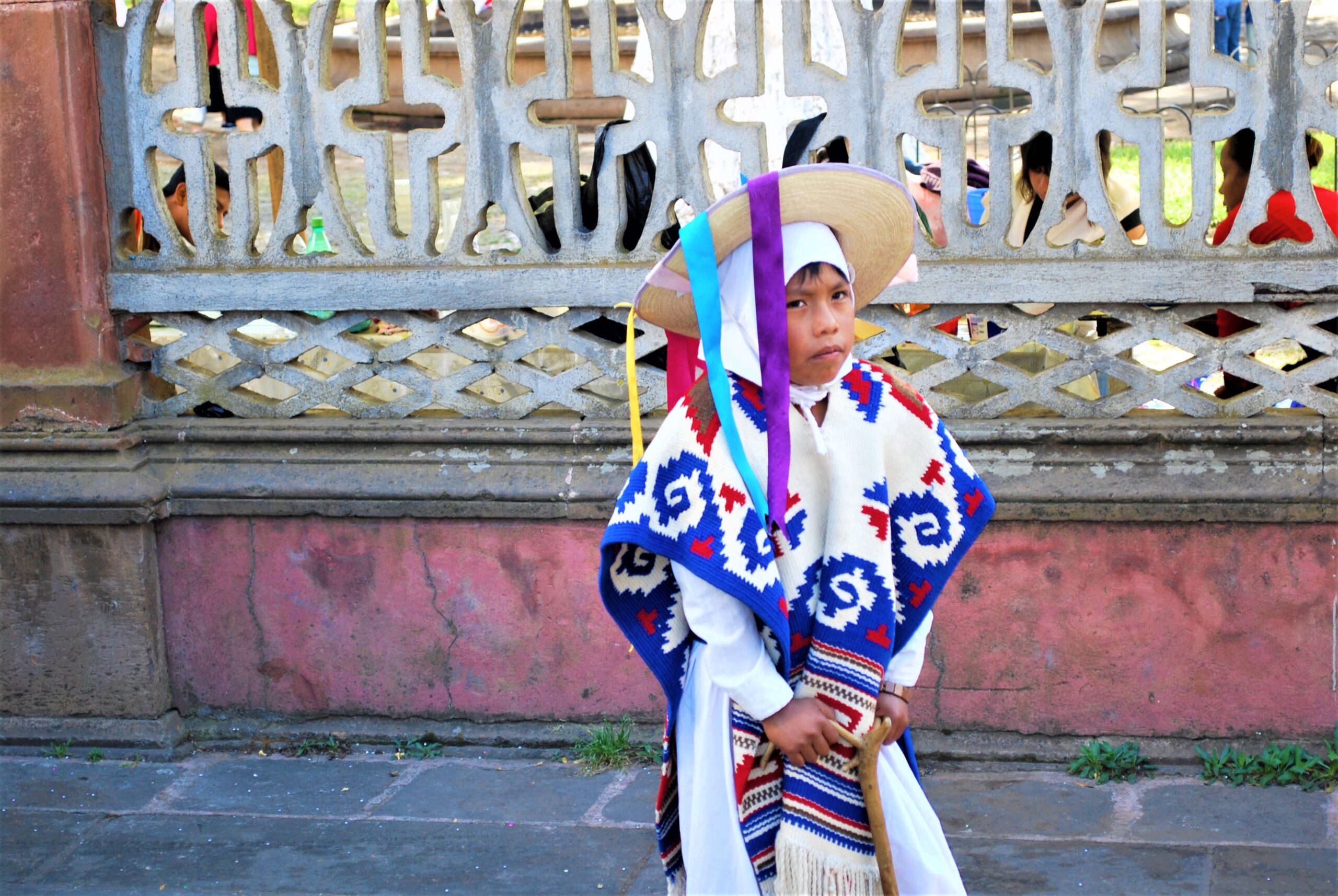
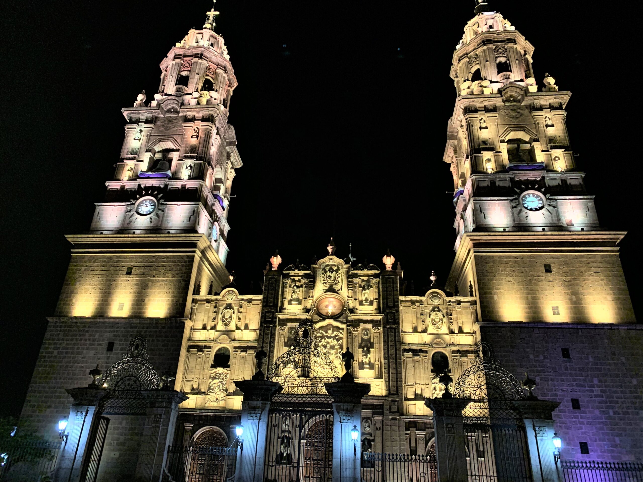
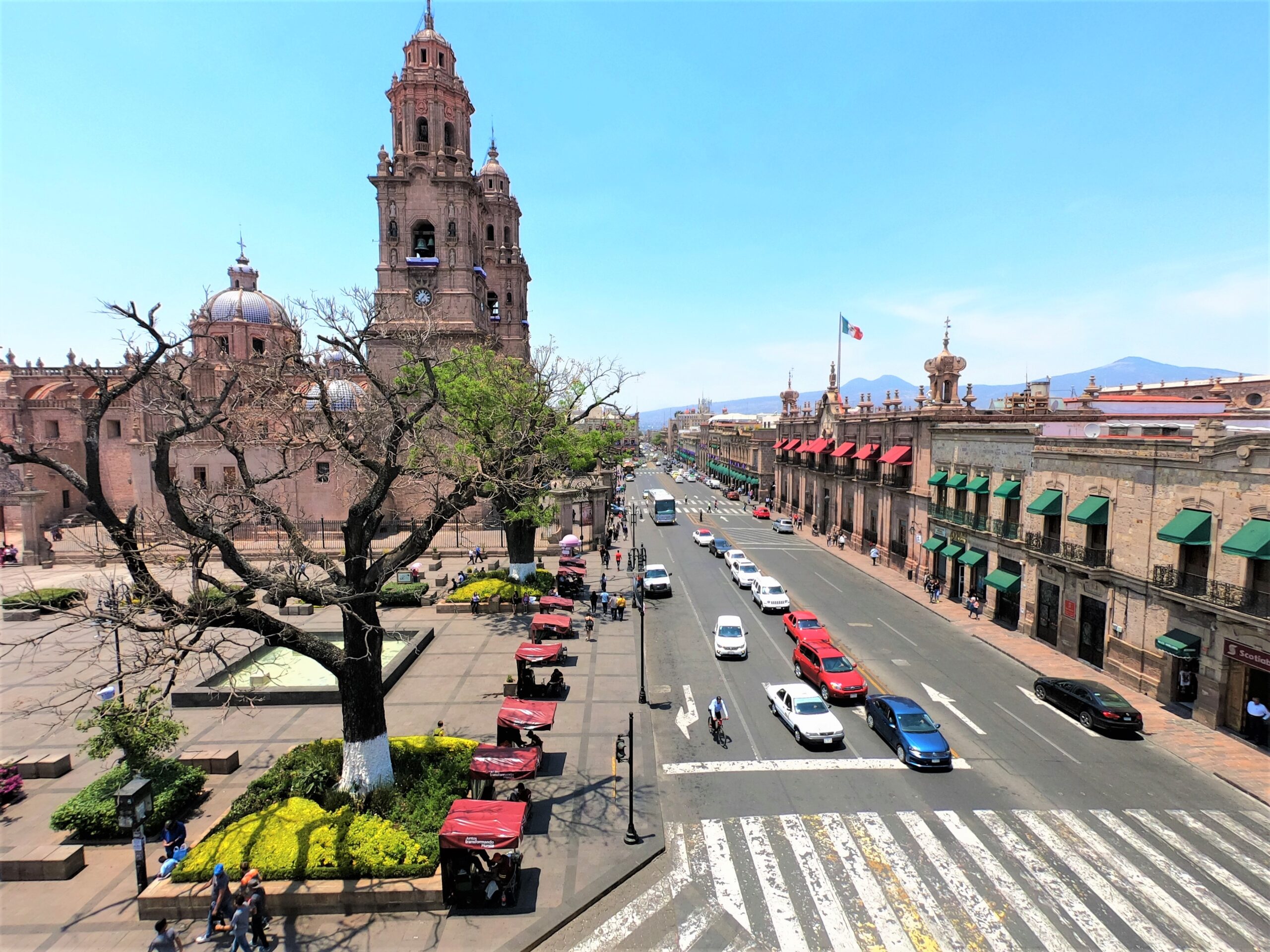
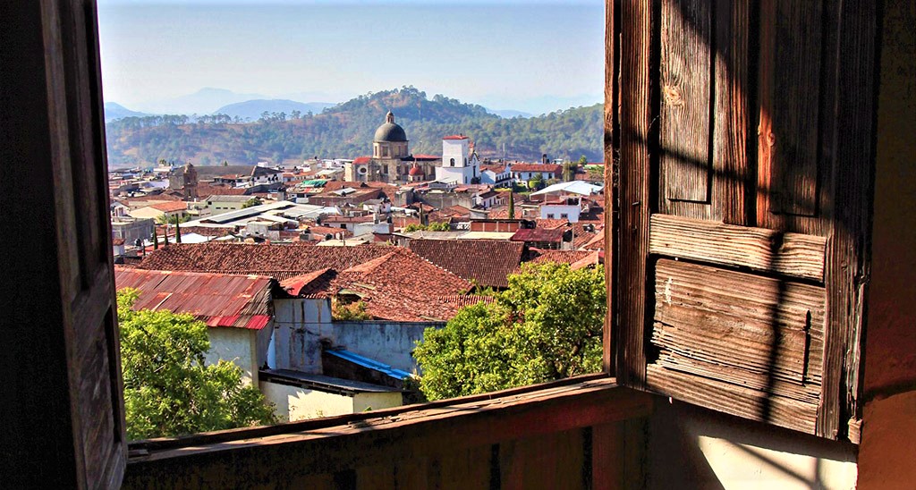
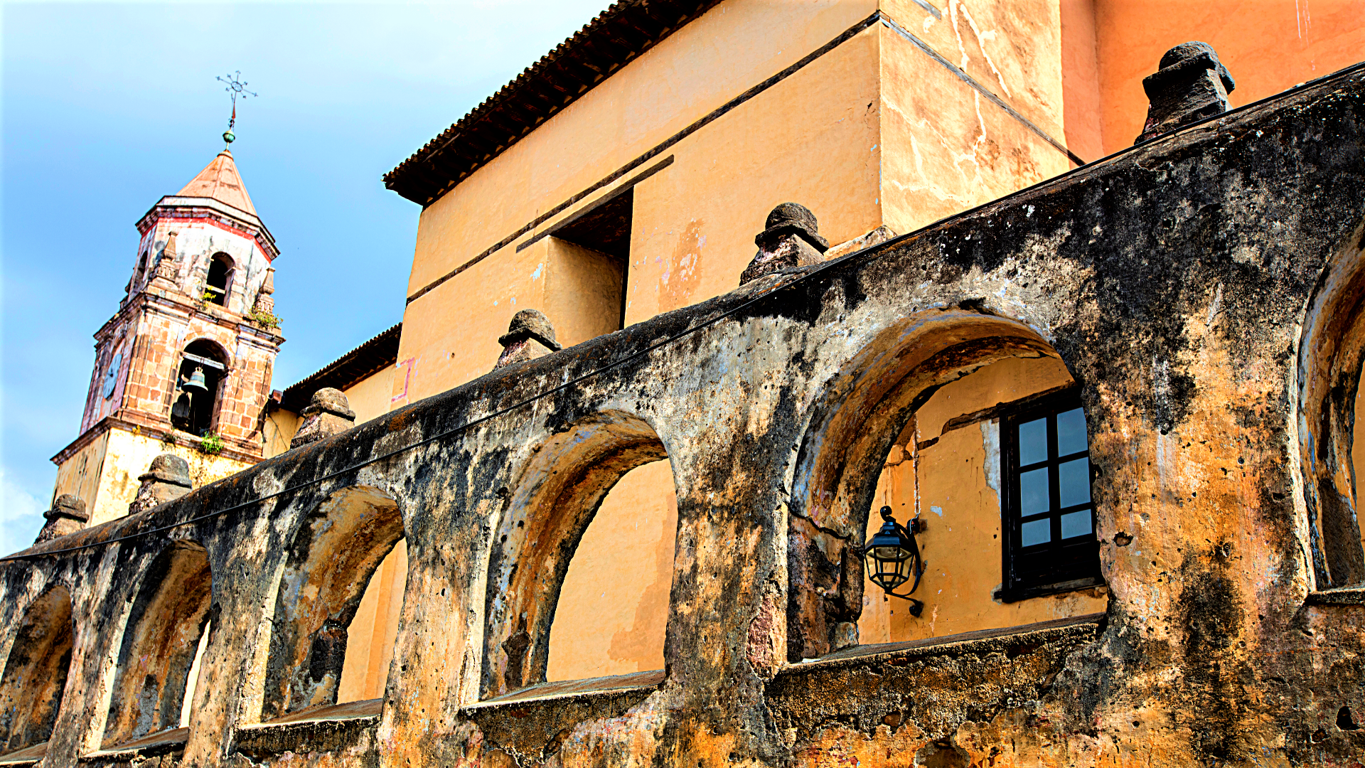
Capital City: Morelia
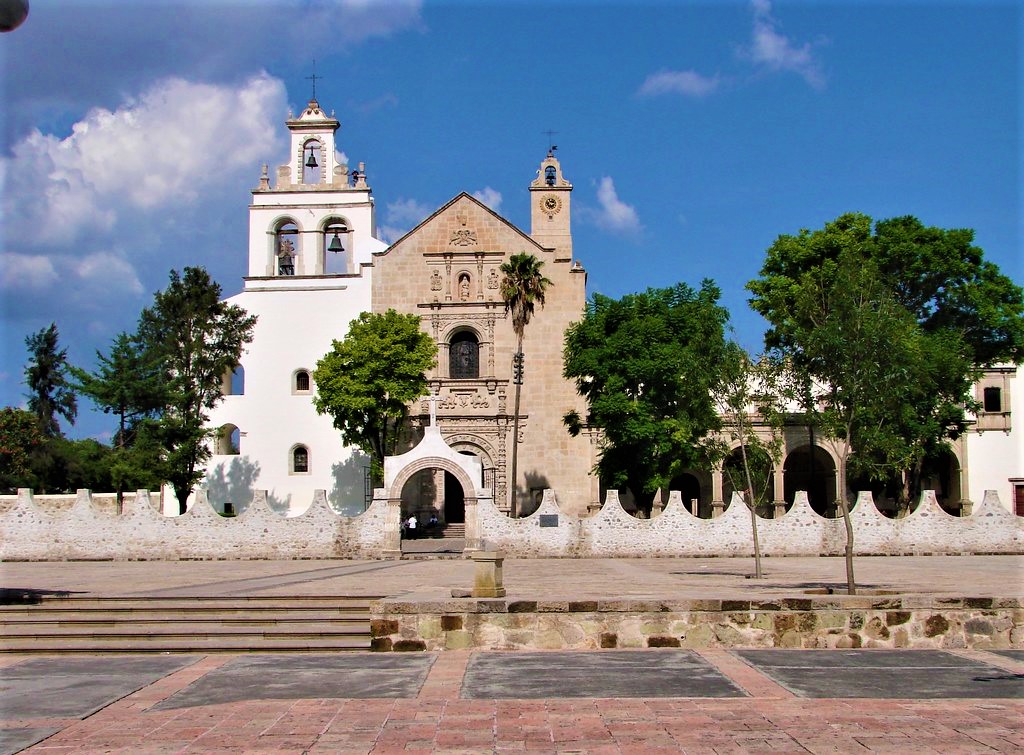
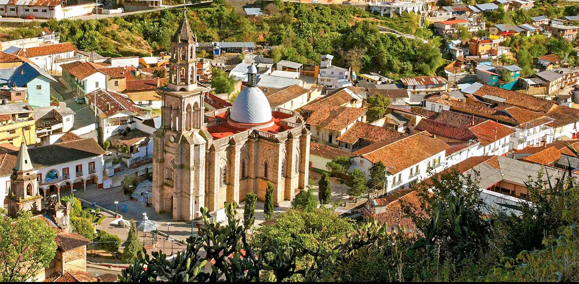
Pueblo Mágicos
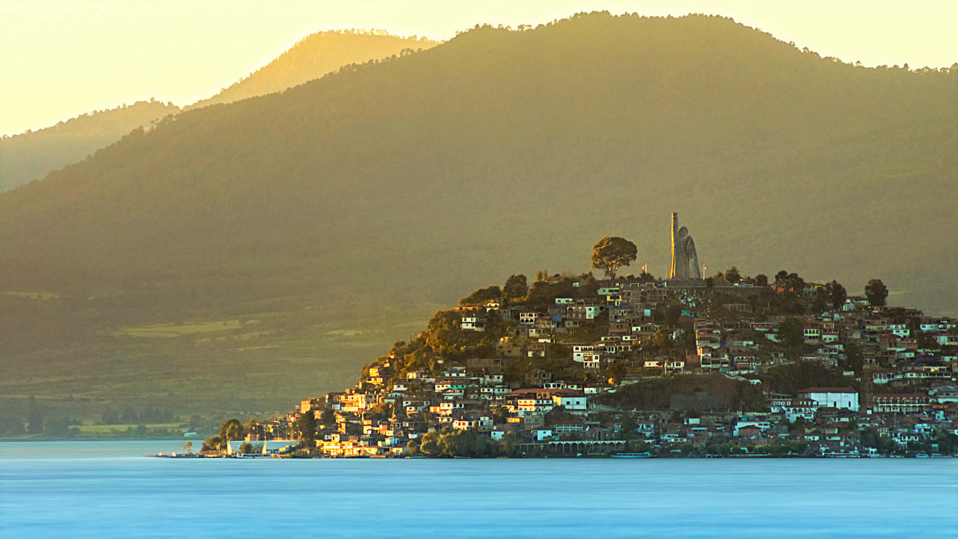
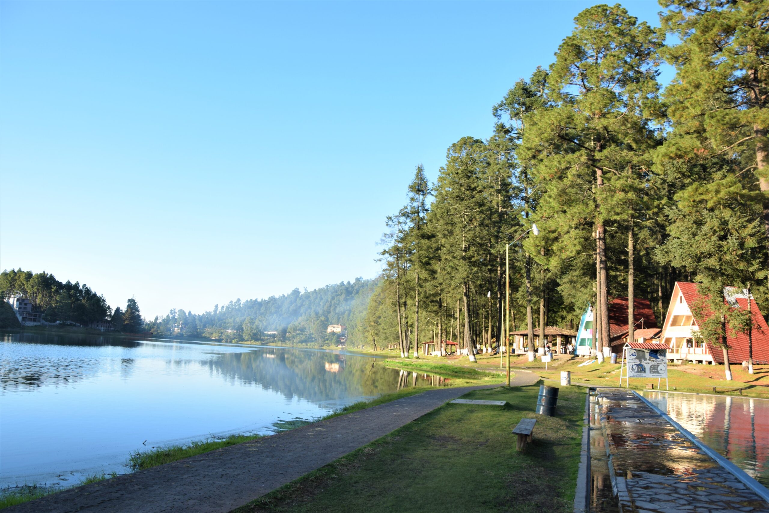
Pátzcuaro
Tlalpujahua
Cuitzeo
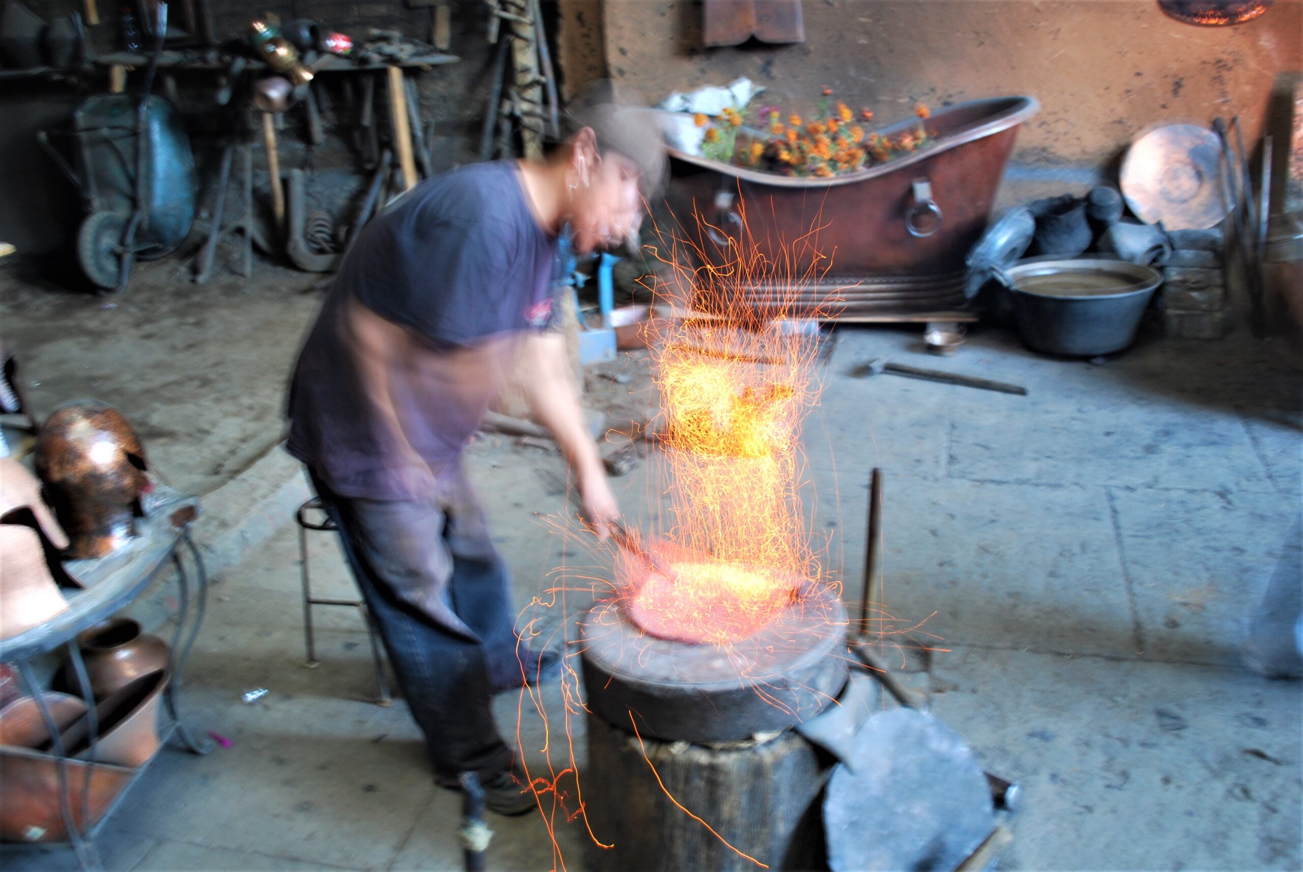
Santa Clara del Cobre
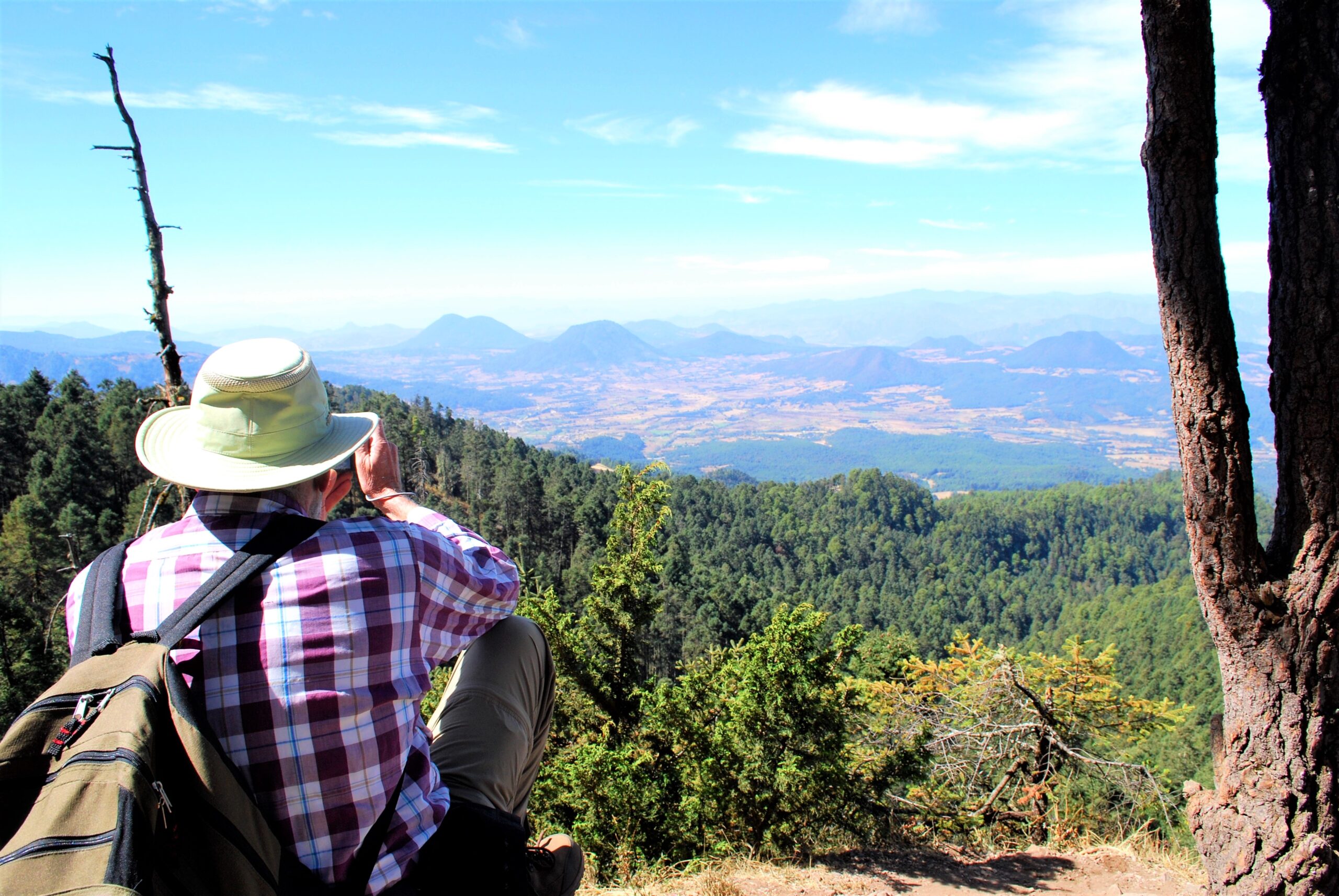
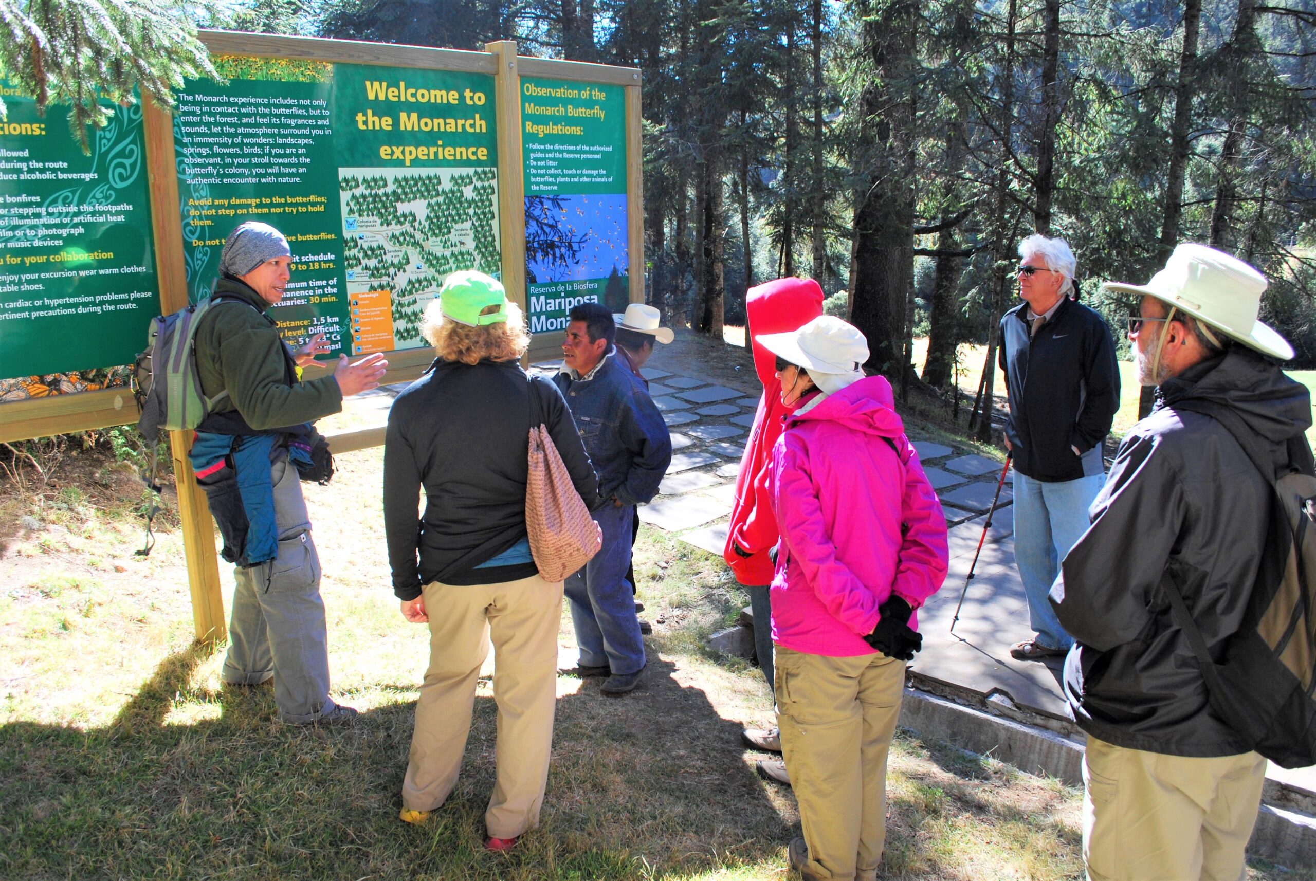
Angangueo
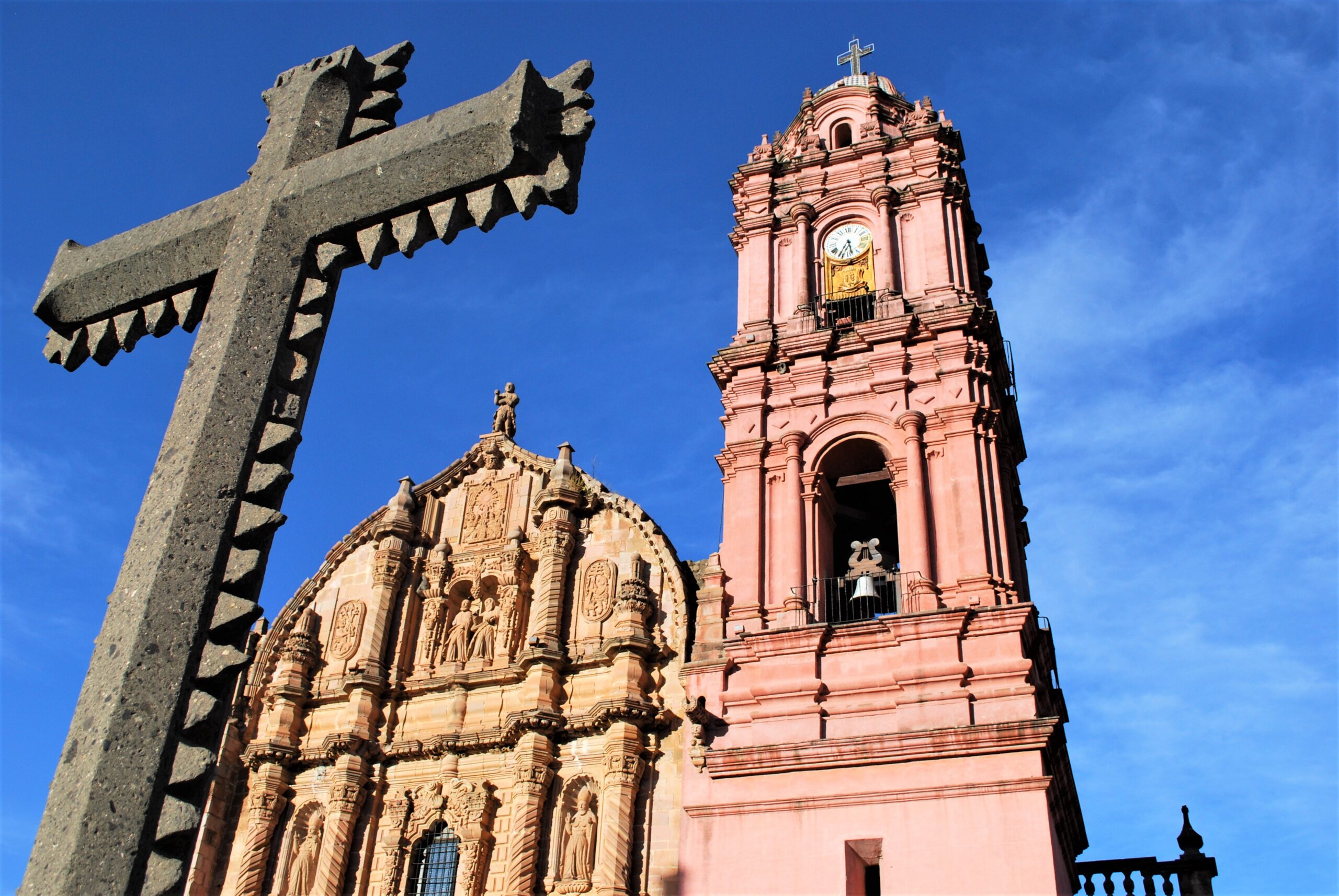
Tacámbaro
Jiquilpan
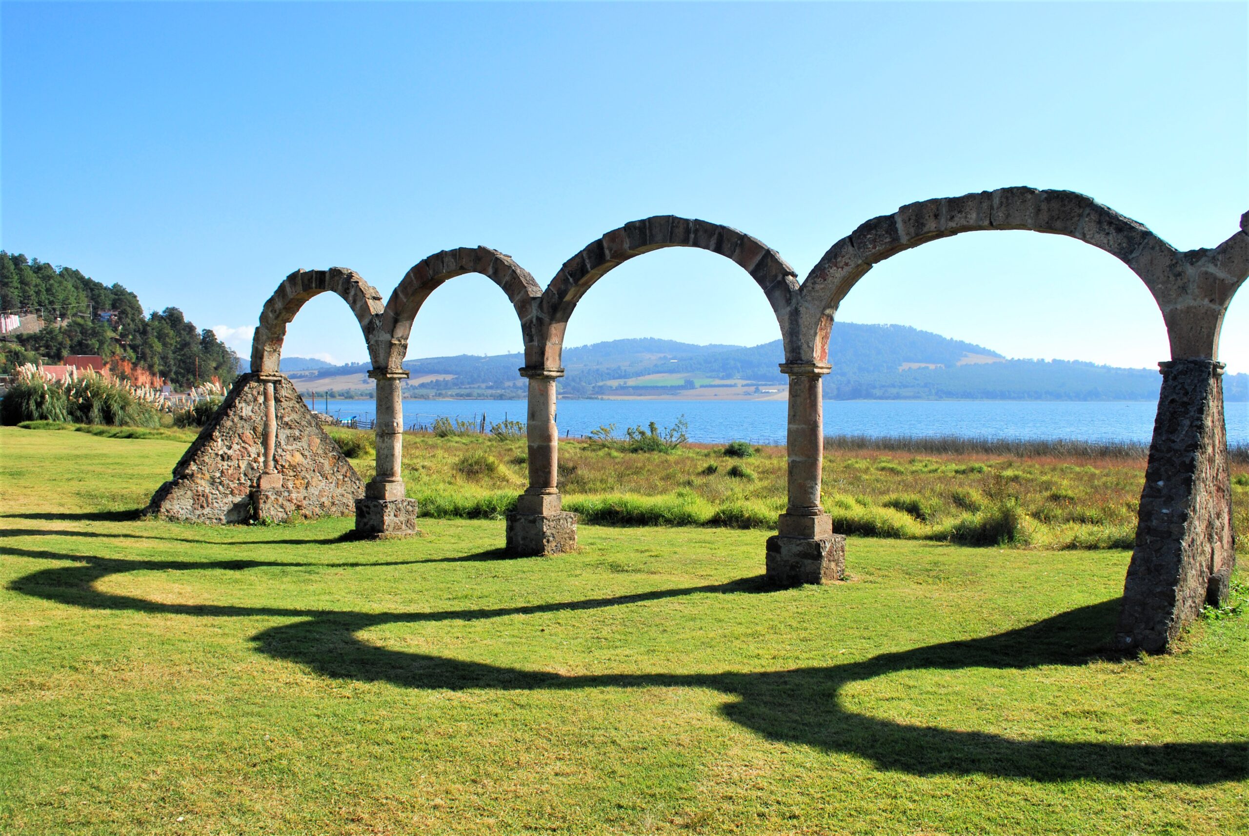
Tzintzuntzan
Distances from Morelia to
Angangueo – 92 mi / 148 km
Cuitzeo – 22 mi / 35 km
Jiquilpan – 151 mi / 242 km
Pátzcuaro – 36 mi / 58 km
Santa Clara del Cobre – 44 mi / 70 km
Tacámbaro – 67 mi / 107 km
Tlalpujahua – 85 mi / 137 km
Tzintzuntzan – 40 mi / 63 km
Guadalajara, JAL – 181 mi / 290 km
Guanajuato, GTO – 110 mi / 177 km
México City, CDMX – 185 mi / 295 km
Querétaro, QRO – 118 mi / 190 km
Nearest Airports from Toluca
Morelia International Airport MLM
15 mi / 24 km
Uruapan International Airport UPN
60 mi / 96 km
Querétaro International Airport QRO
91 mi / 146 km
Weather in Guadalajara
Jan-Feb High 70s / Low 40s
Mar High 80s / Low 40s
Apr-May High 80s / Low 50s
Jun High 80s / Low 60s
Jul-Oct High 70s / Low 50s
Nov-Dec High 70s / Low 40s


We can help you custom design a guided tour to include Michoacan. Contact Us


