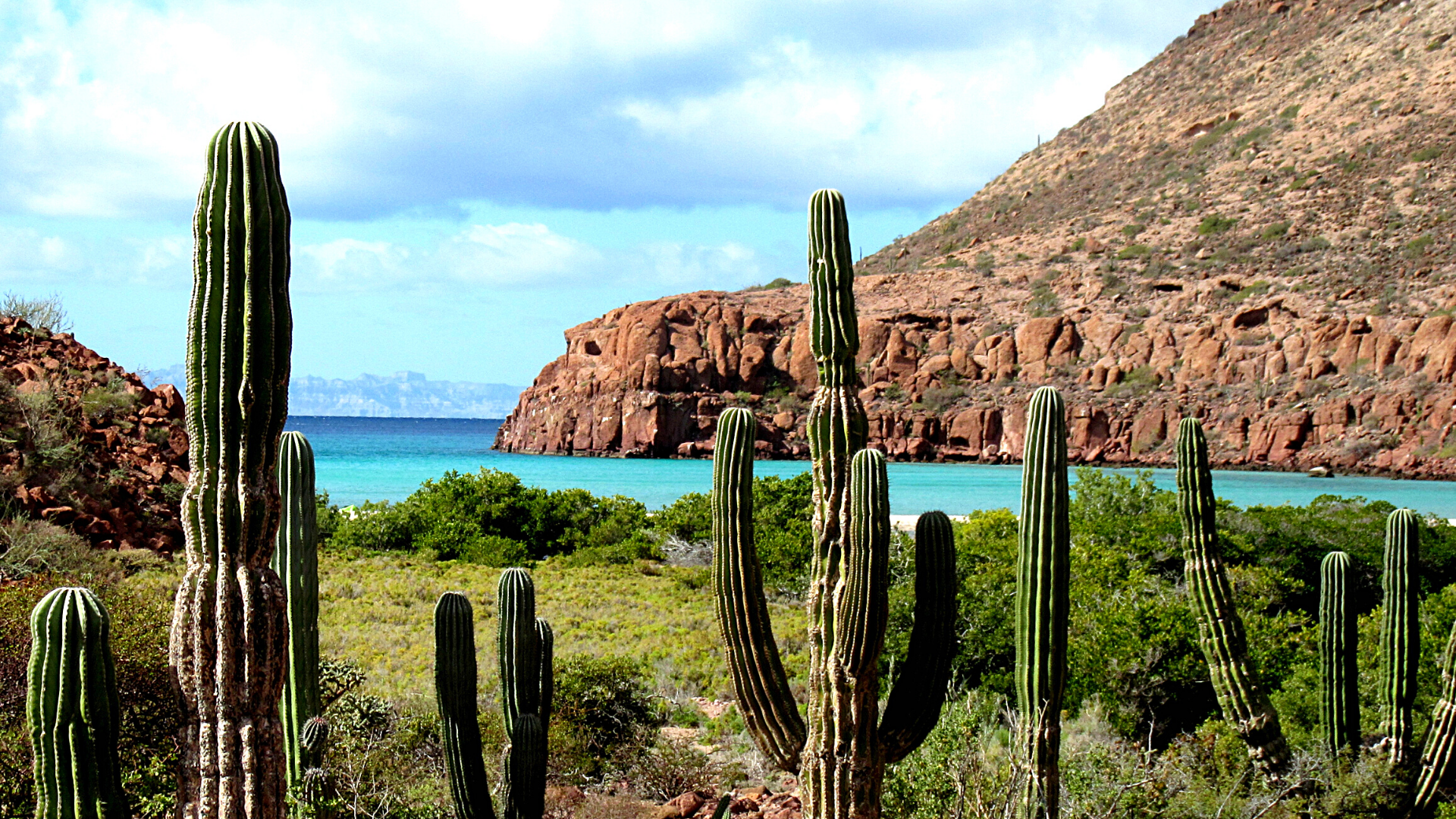

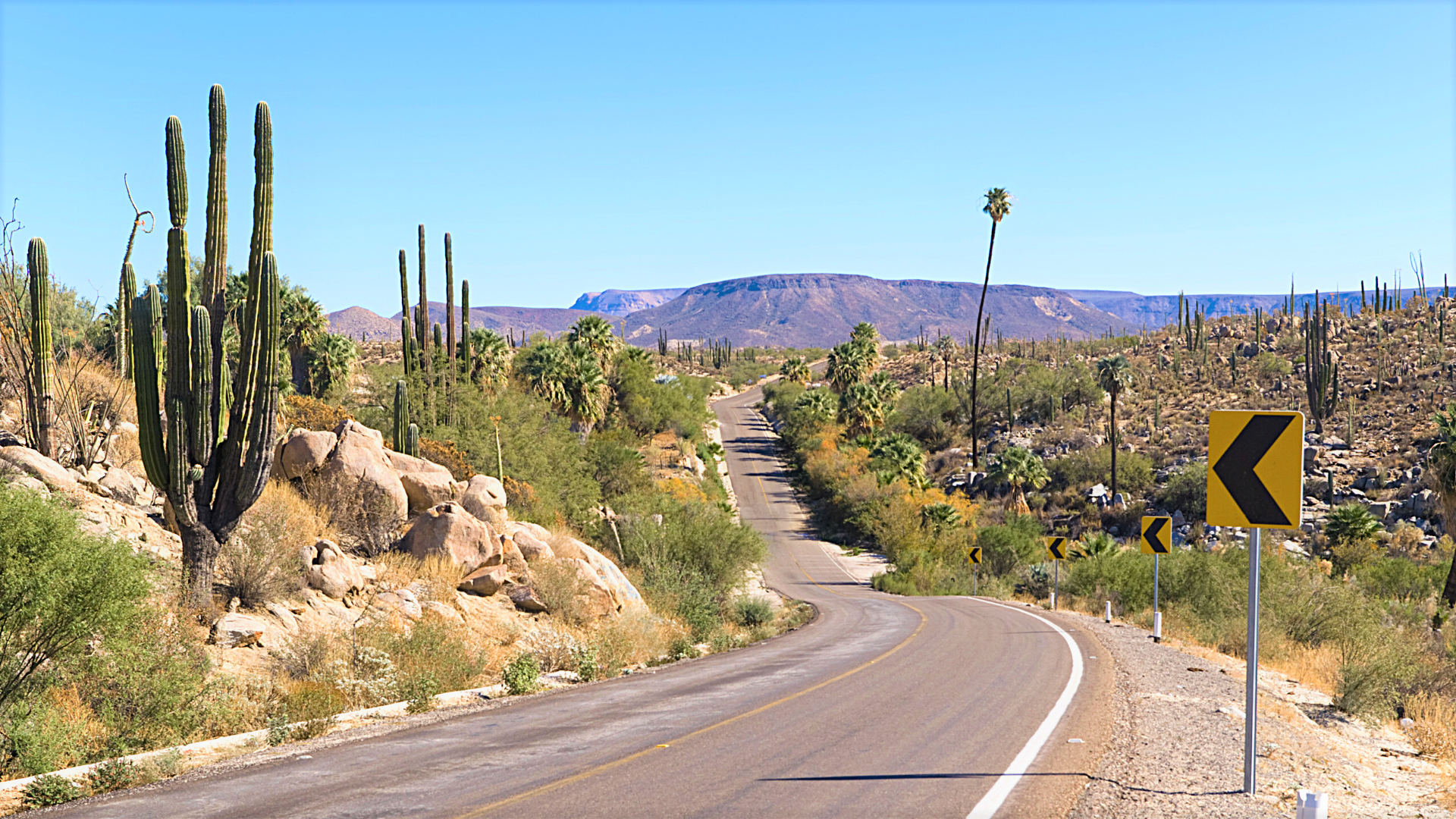
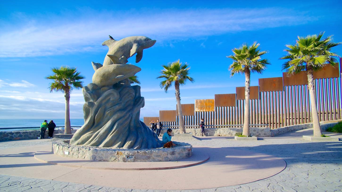
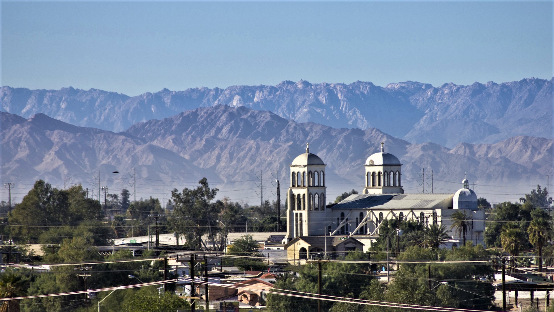
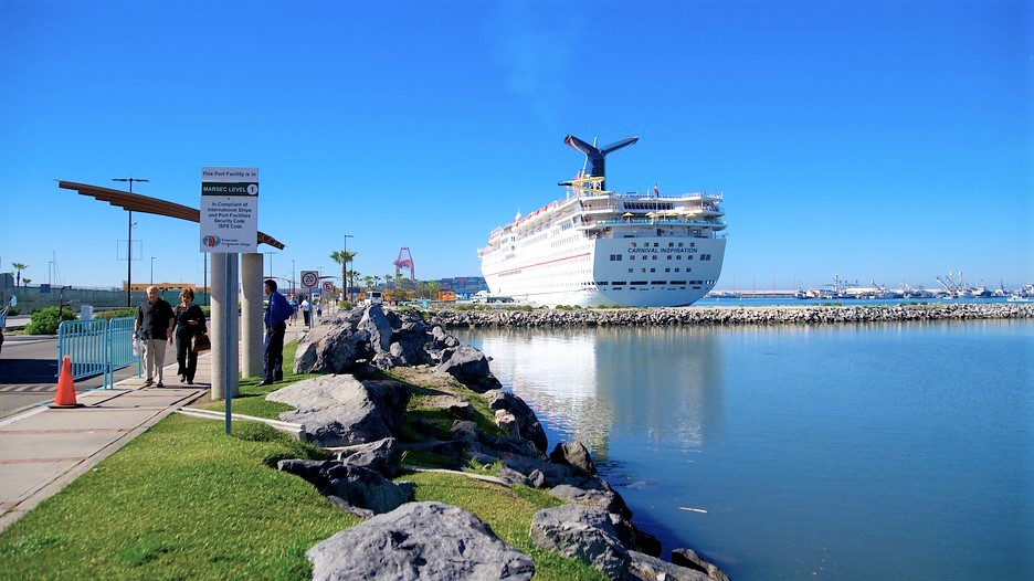
Location: Baja California Region
Capital City: Mexicali
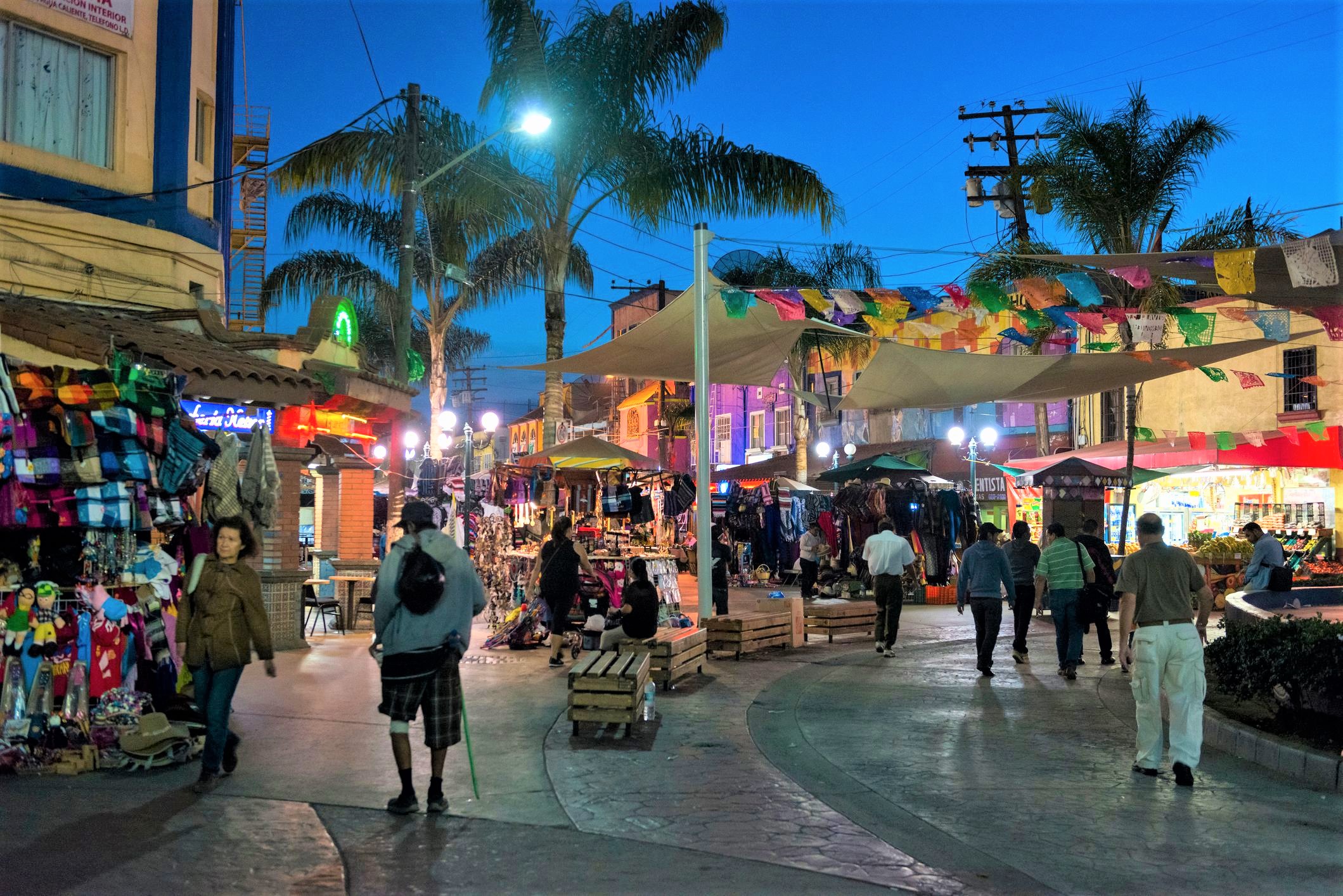
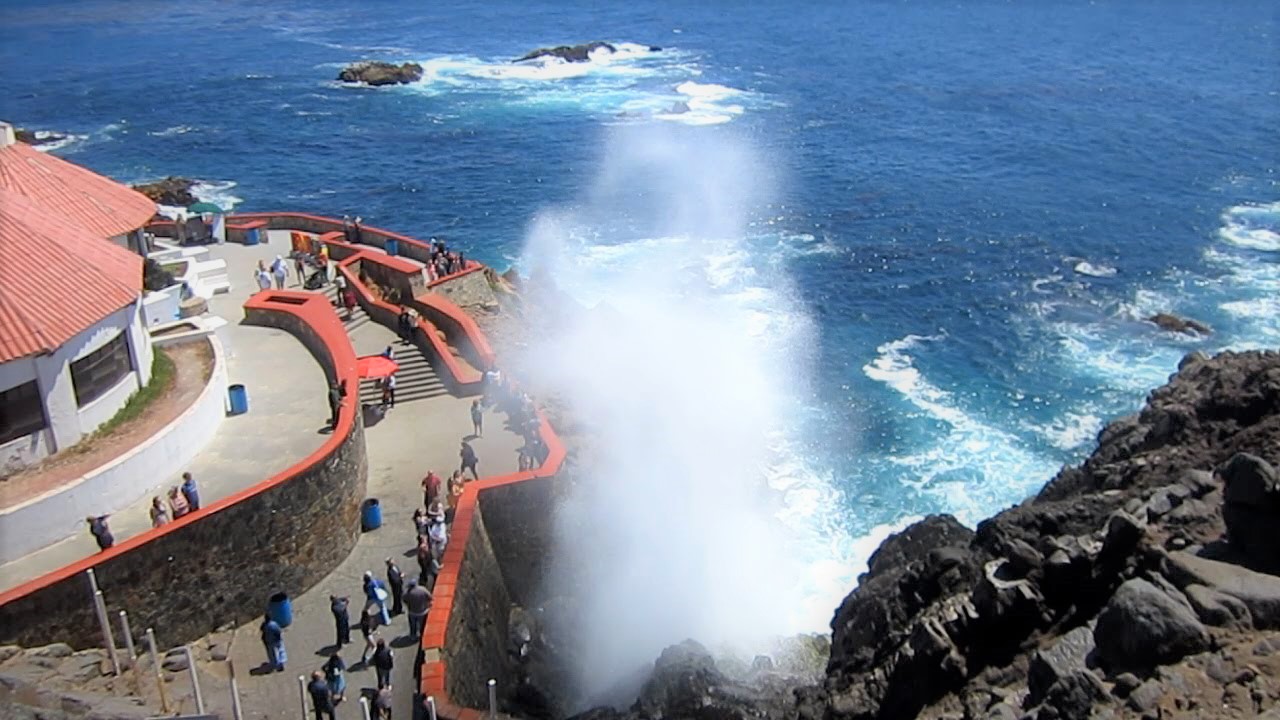
Pueblo Mágicos
Tecate
Distances from Tijuana to
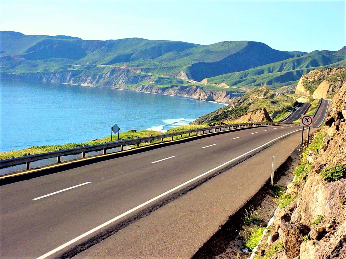
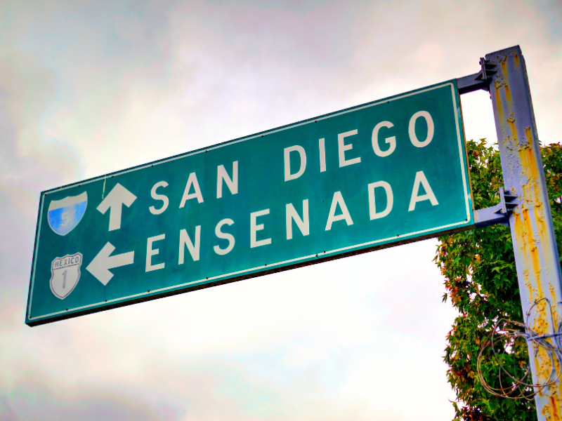
Ensenada – 150 mi / 242 km
Mexicali – 113 mi / 182 km
Santa Rosalita – 500 mi / 805 km
Tecate – 82 mi / 132 km
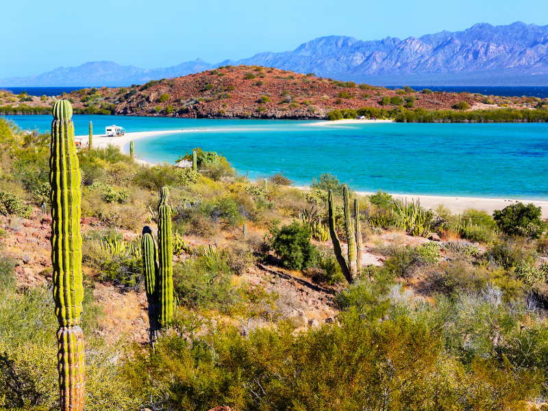
Cabo San Lucas, BCS – 940 mi / 1513 km
Loreto, BCS – 620 mi / 1000 km
San Diego, CA – 121 mi / 195 km
Yuma, AZ – 56 mi / 90 km
Nearest Airports from Tijuana
Tijuana International Airport TIJ
4 miles / 6 km
San Diego CA International Airport SAN
20 miles / 31 km
Mexicali International Airport MXL
89 mi / 143 km
Orange County CA International Airport SNA
(also known John Wayne airport)
96 miles / 154 km
Palm Springs CA International Airport PSP
97 mile / 155 km
Weather
Jan-April High 60s / Low 40s
May-June High 60s / Low 50s
July-Oct High 70s / Low 60s
Nov-Dec High 60s / Low 50s


We will be creating more travel videos in the near future. Check back with us.
We can help you custom design a guided tour to include Baja California. Contact Us


